Driving the Denali Highway
Summer - mid May to the end of September
- The Denali Highway is a 135 mile road that cuts across the wilderness from Paxson (on the Richardson Highway) to Cantwell (on the Parks Highway). The road is paved for the first 21 miles and then turns to chip seal (another form of pavement used in Alaska) all the way to mile 91. From there the road turns to gravel until the last 3 miles heading into Cantwell. There are many amazing view points, lakes to fish and trails to hike along the way. While it may seem like you are a long way from nowhere, there are several lodges along the way with many conveniences to make your travels as safe and fulfilling as possible.
Hiking
- There are a multitude of maintained and unmaintained trails on the Denali Highway. Some are multi use and some are not. These trails access even more of the beauty that surrounds us on the Denali Highway. Click the link below for a trail guide of the entire highway.
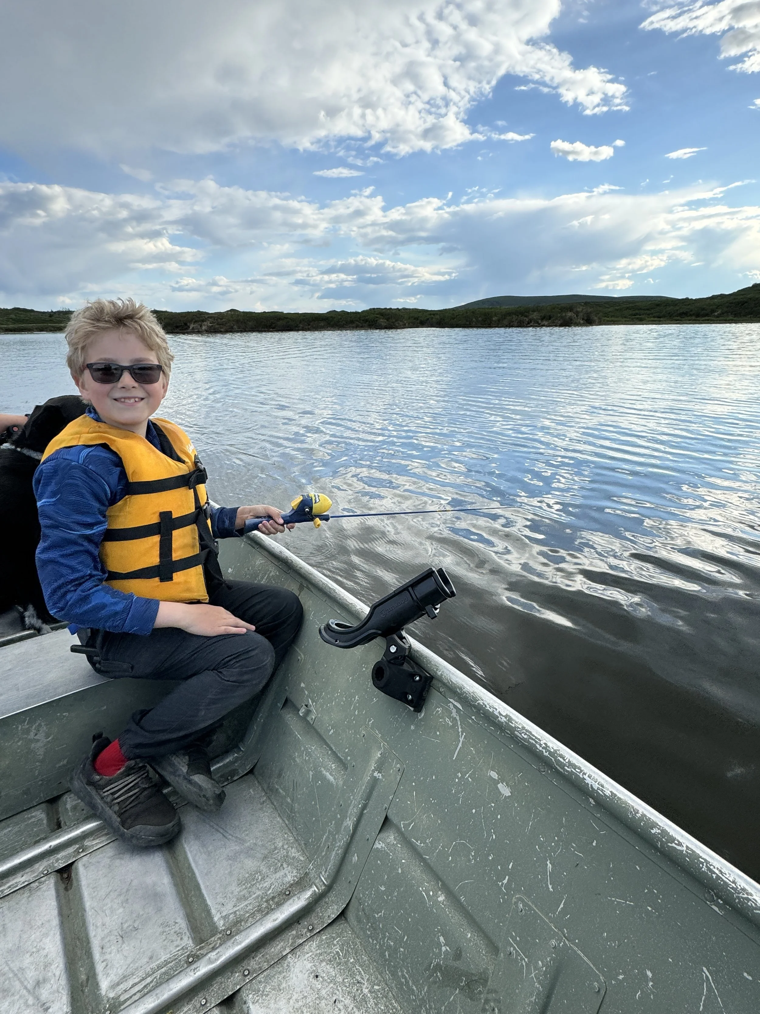
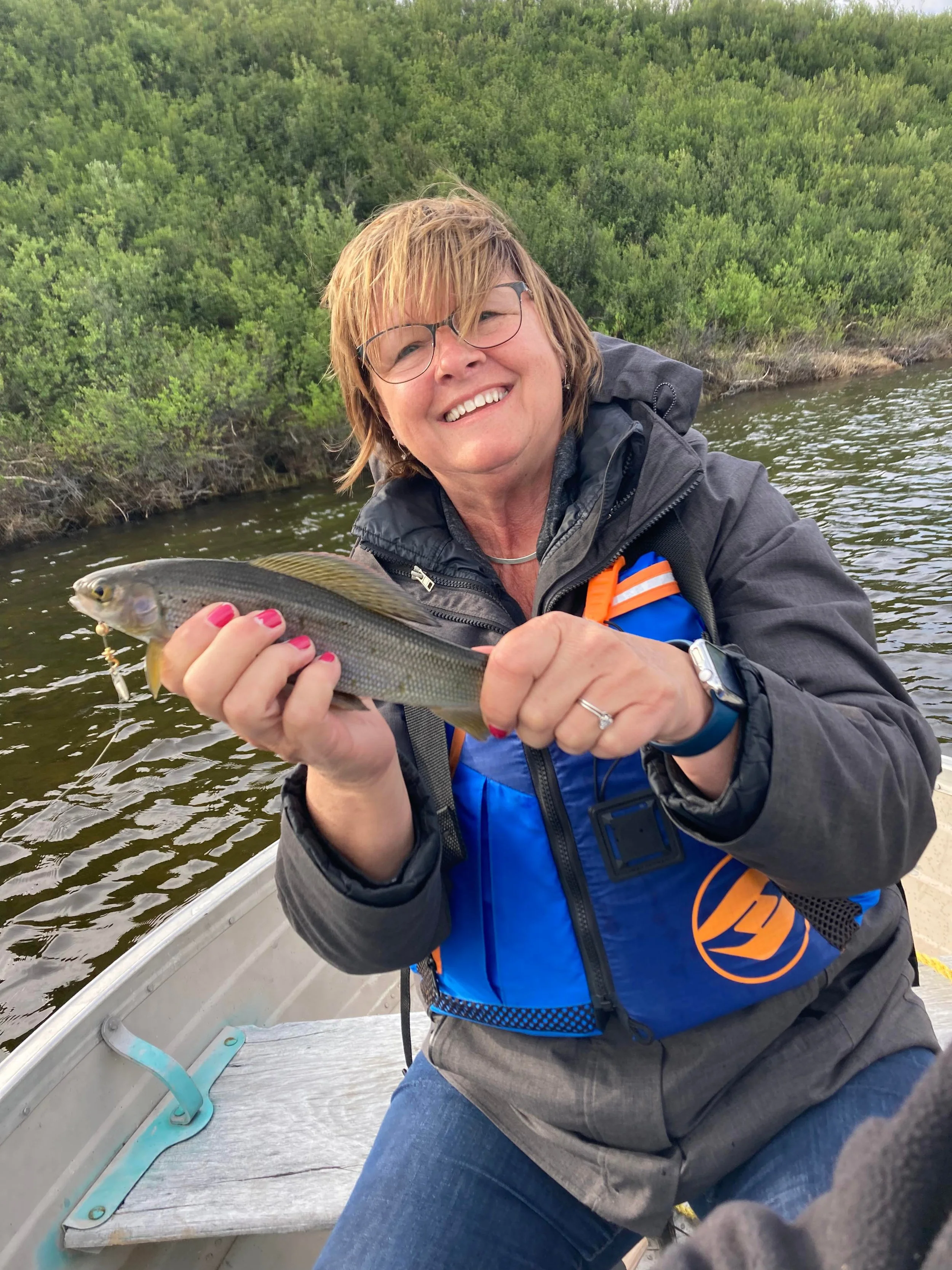
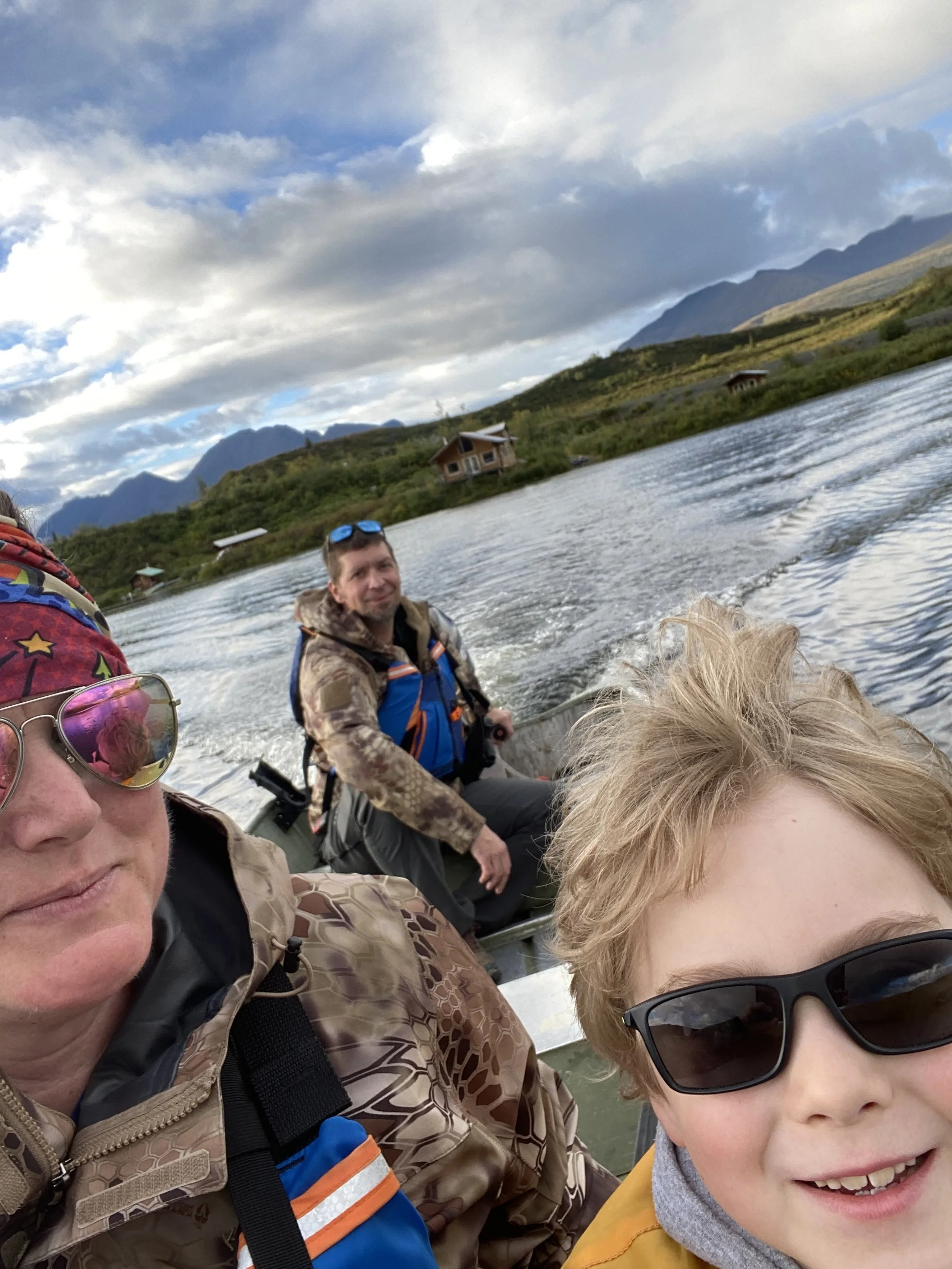
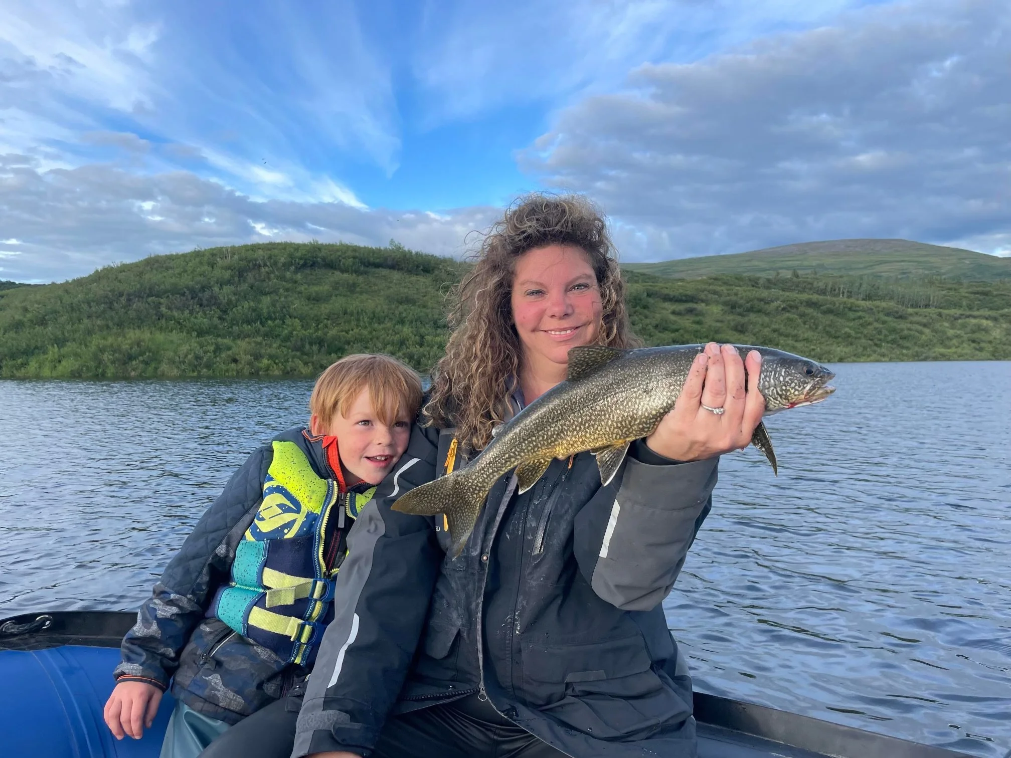
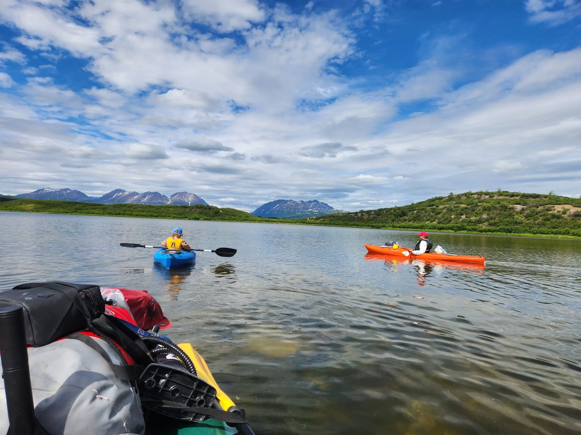
Fishing/Boating
- Grayling and Lake Trout inhabit the waters of the upper and lower Tangle Lakes. You can catch fish from the shore or rent a canoe or kayak for the day to get further up the lake and possibly see other wildlife.
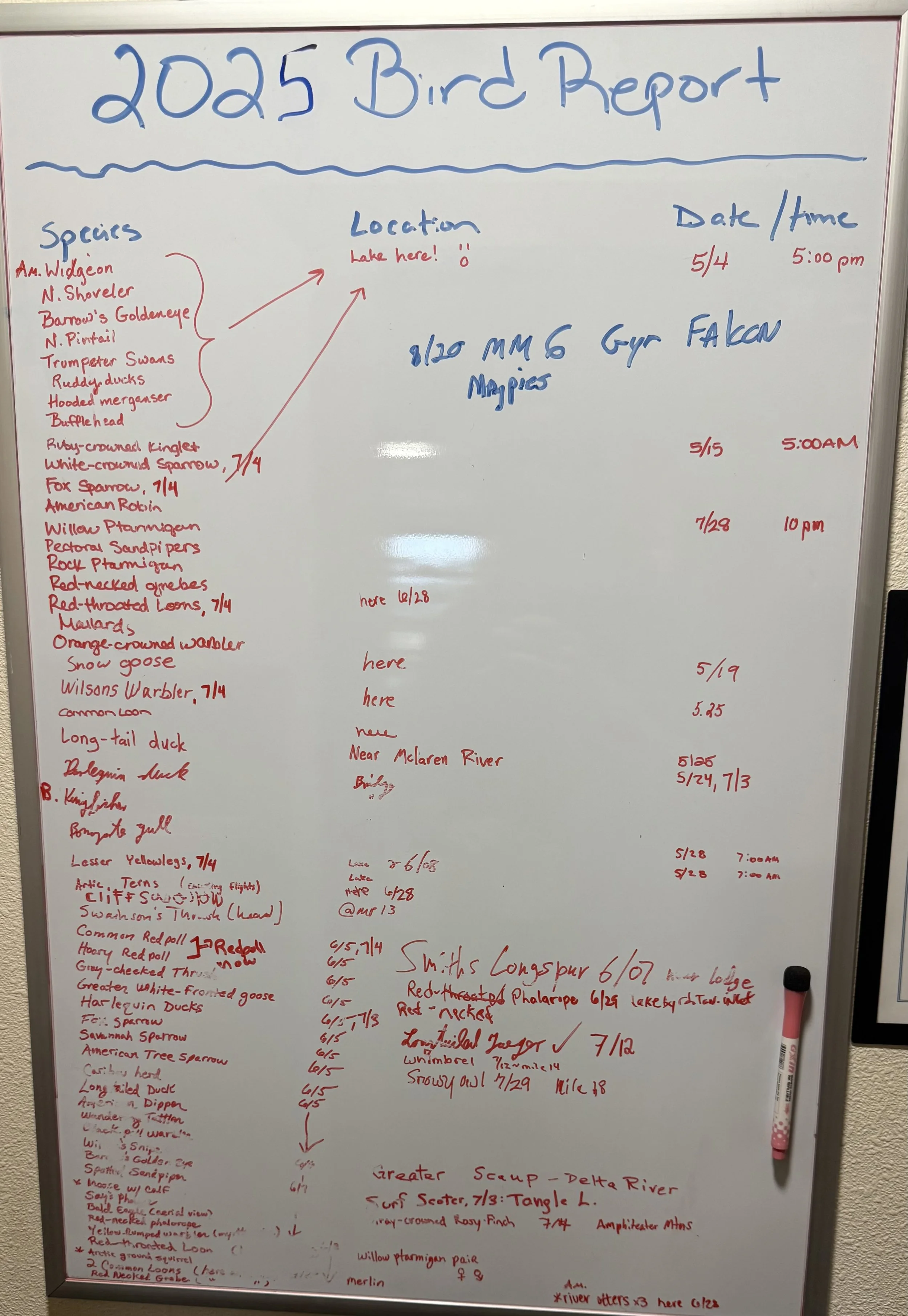
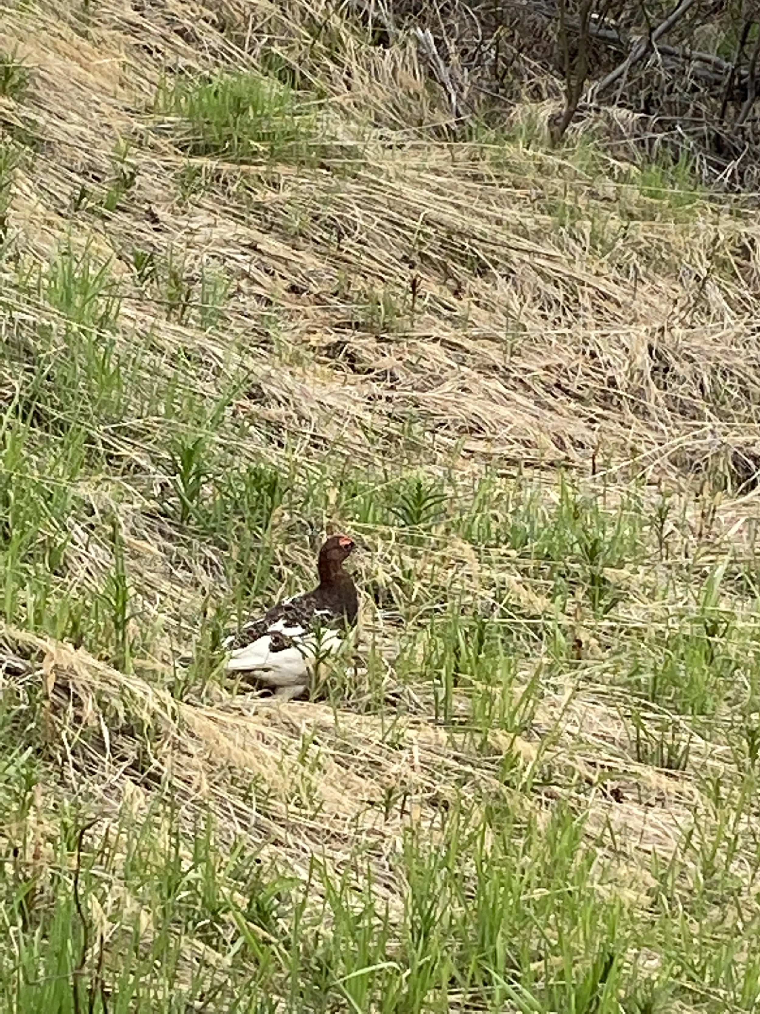
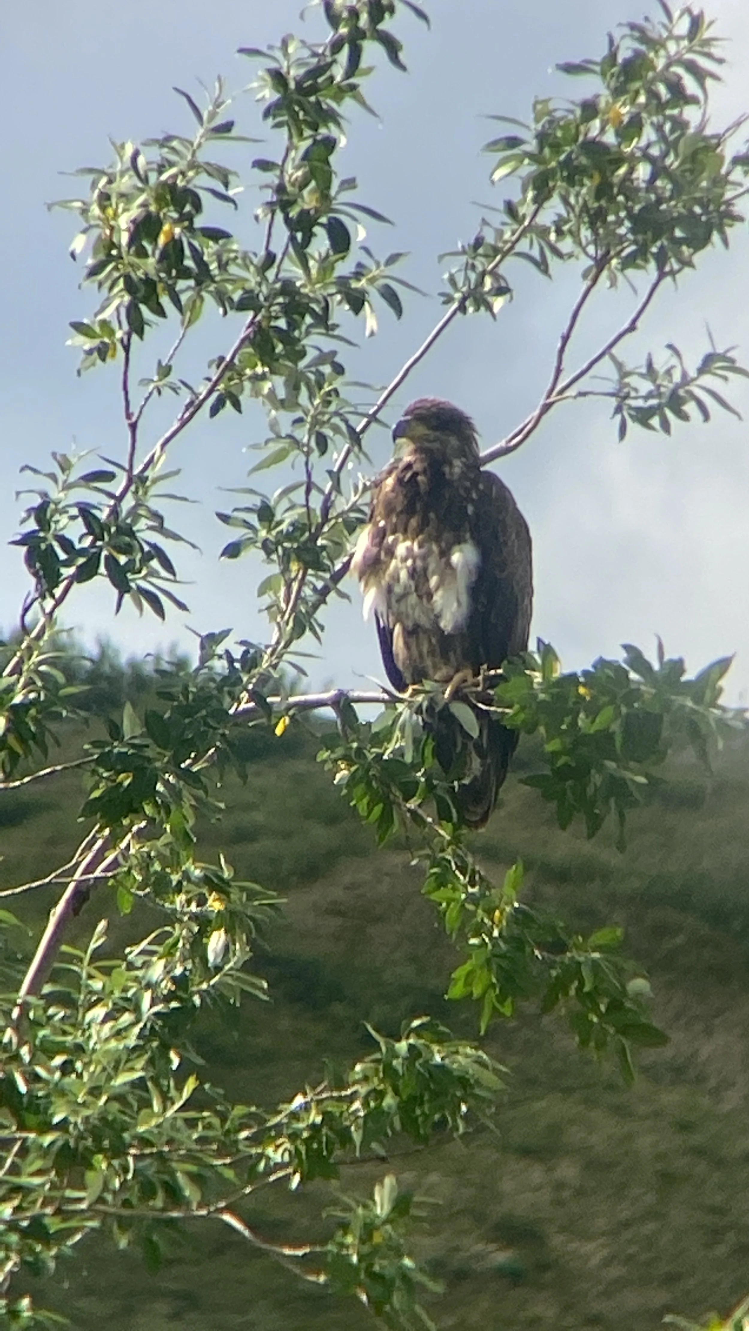
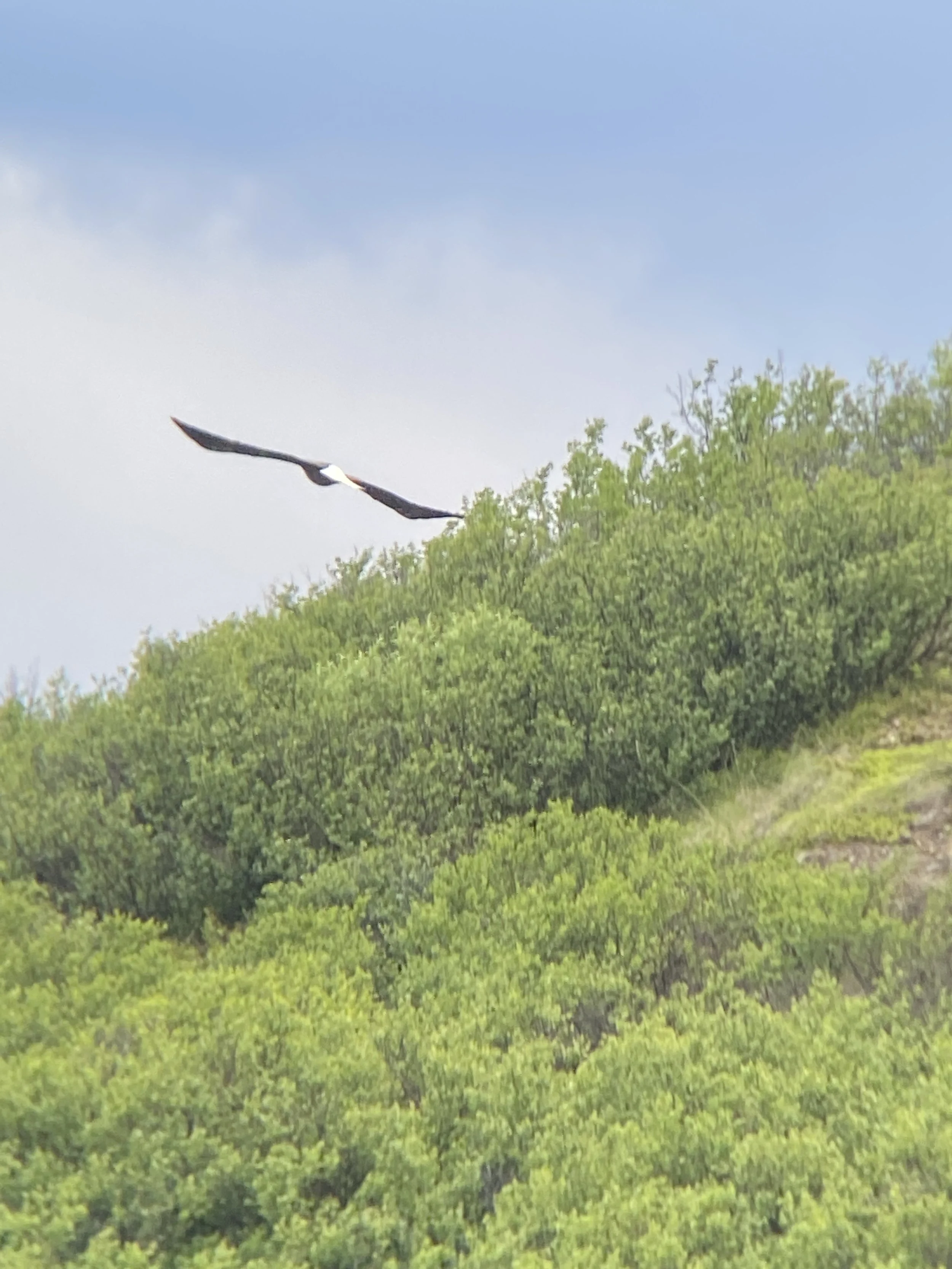
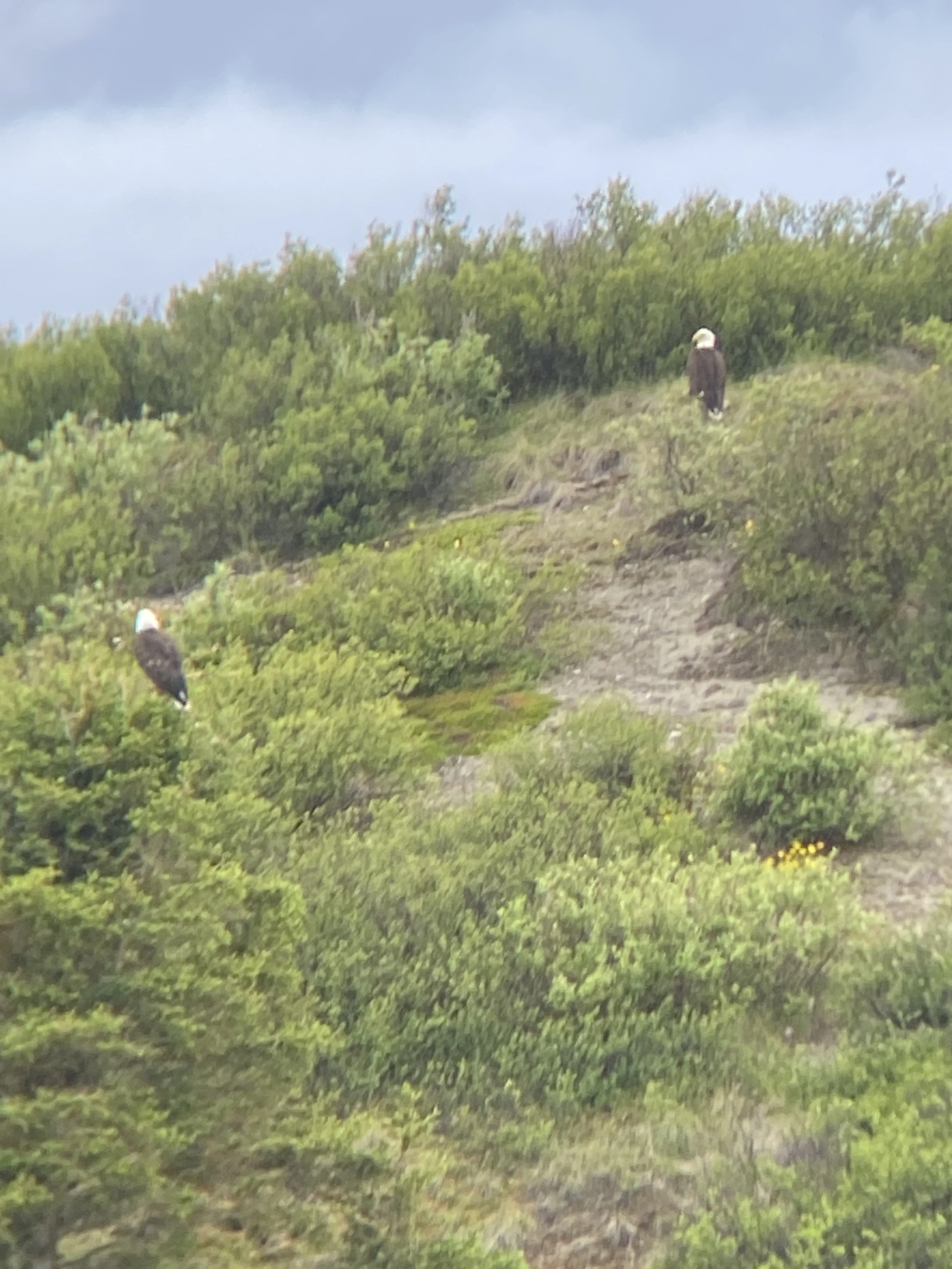
Bird Watching
- People come from all over the world to bird watch and photograph the abundant birds in the area. The Denali Highway is known for the elusive Smith’s Longspur (often seen on the trails at Milepost 19)
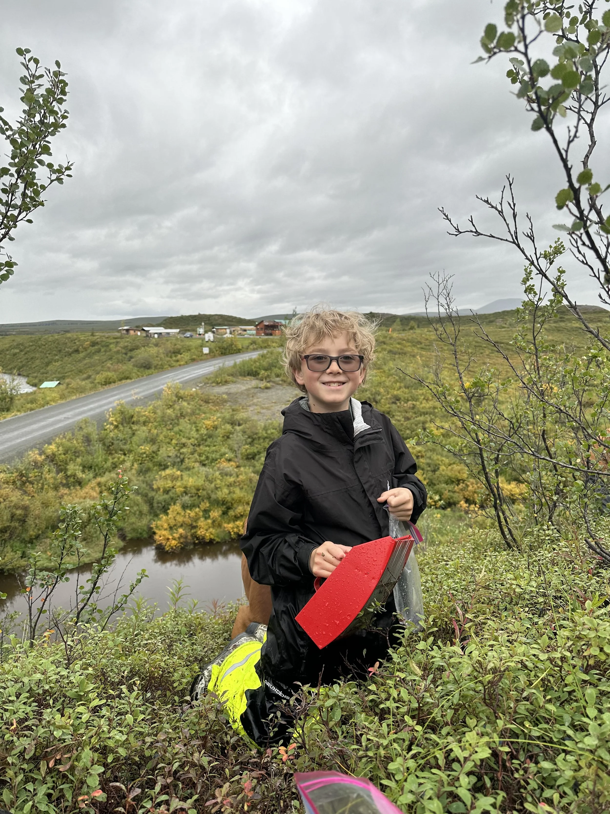
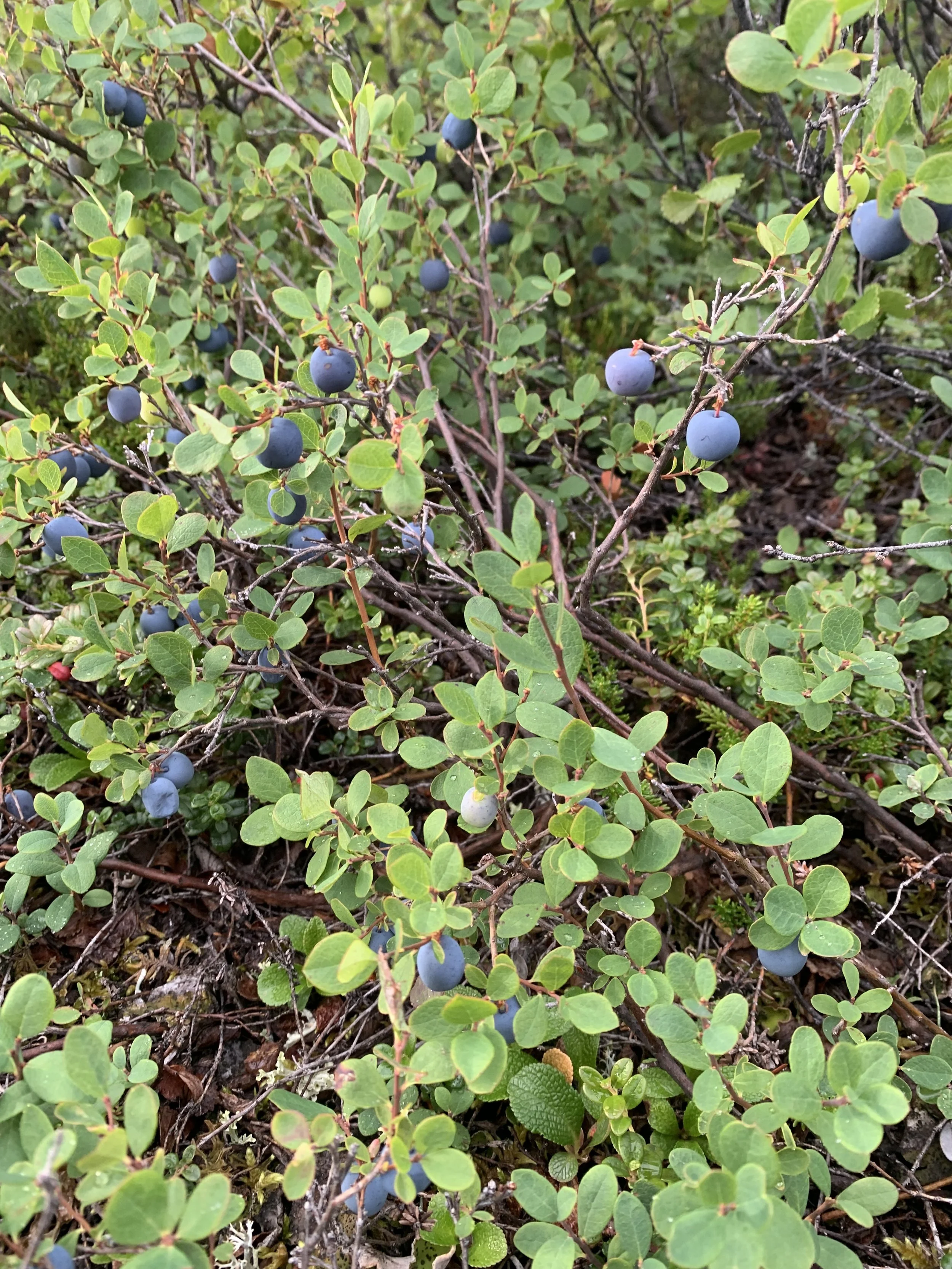
Berry Picking
- The blueberries are abundant all along the Denali Highway. The area runs a little later than most, usually starting the second week of August and going through the middle of September.
- Cranberries are also seen in certain areas on the highway. We like to wait until the first frost (usually early September) for the berries to sweeten up but others like a little more tart berry.
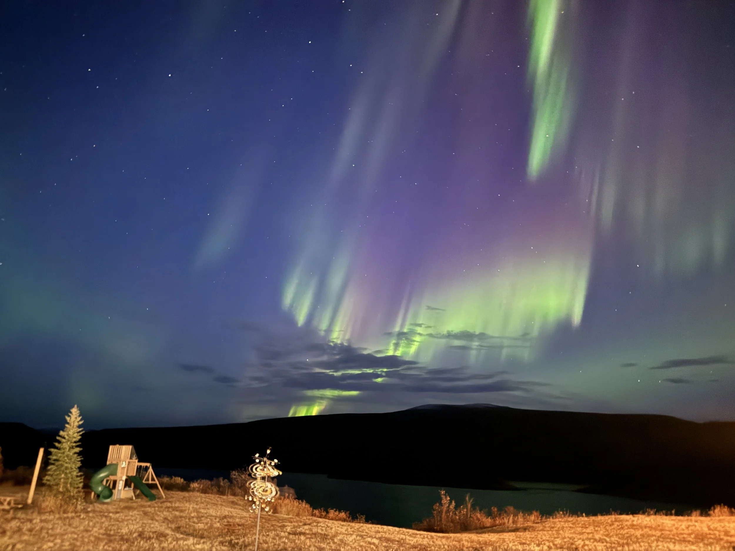
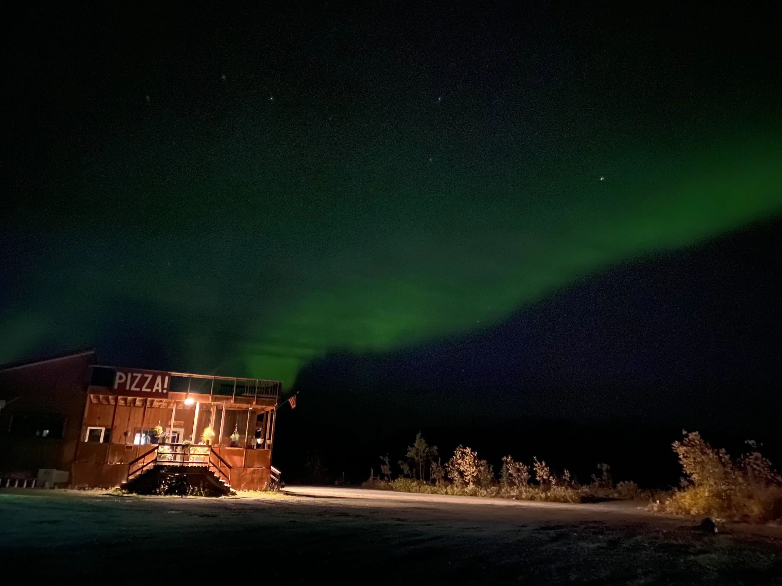
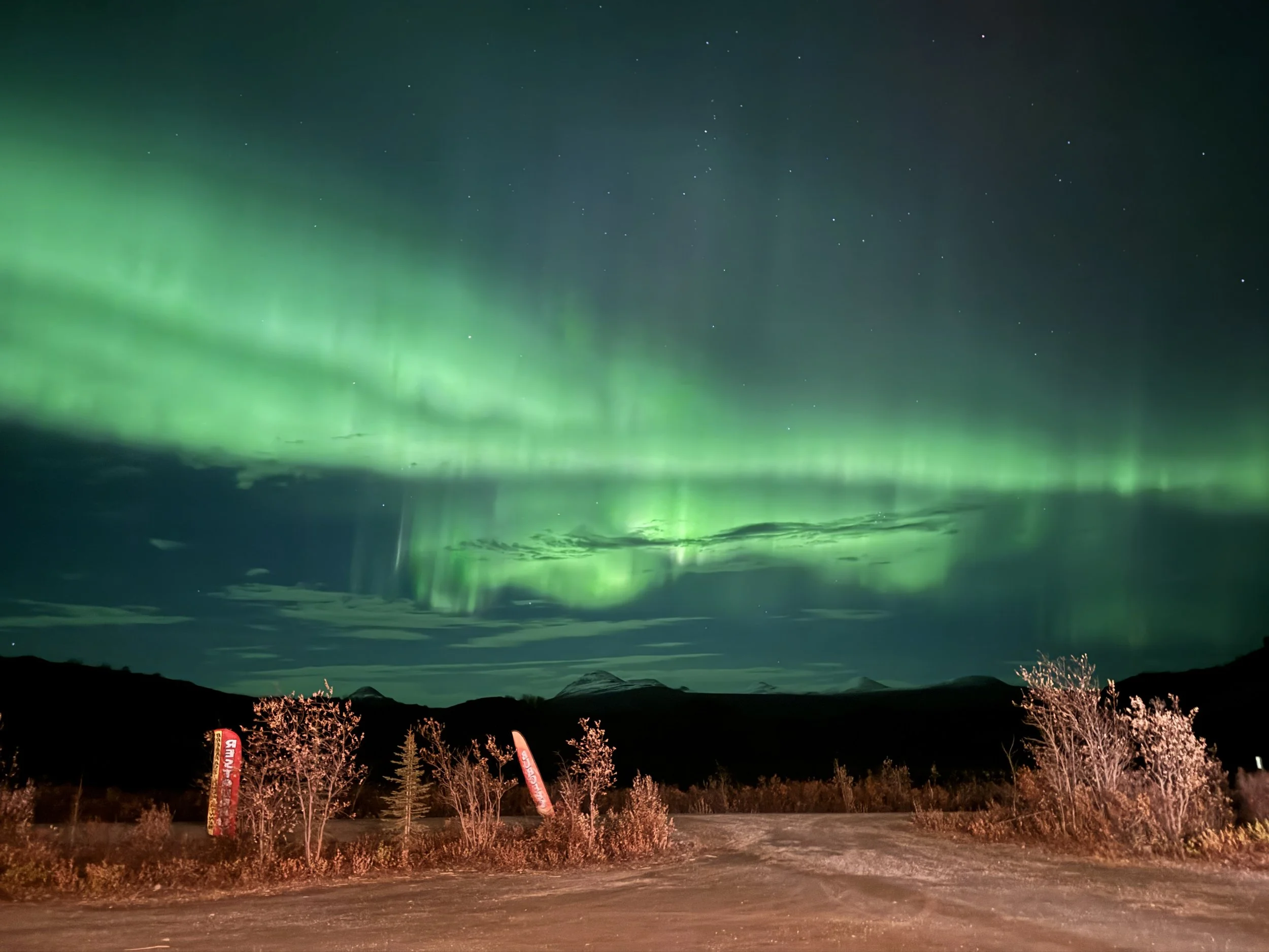
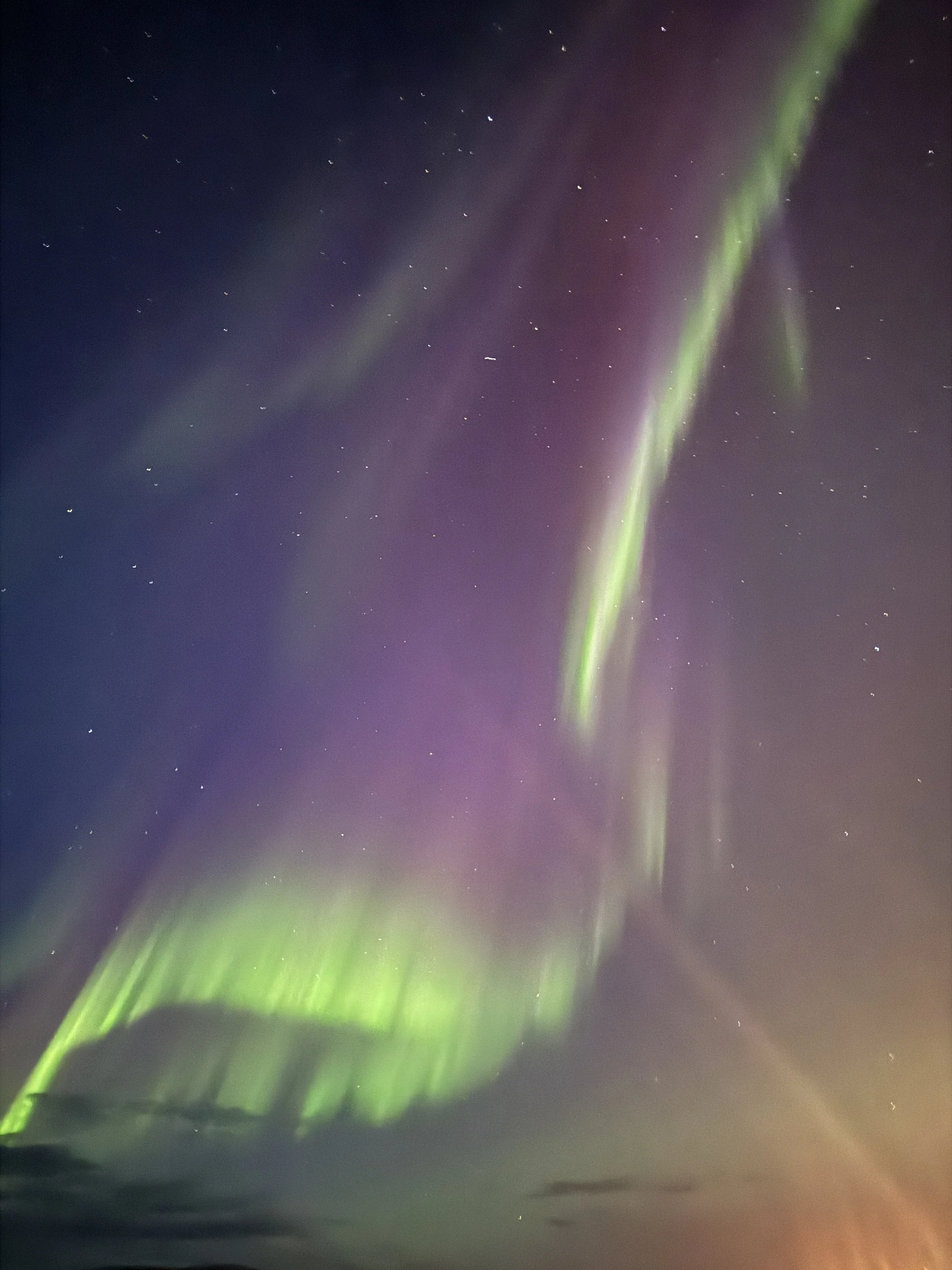
Aurora Viewing
- Spectacular displays of aurora can bee seen in September (as long as its not raining).